Winkler Ranch · Geospatial prototyping
3D-Printed Ranch Elevation Map
Physical terrain data for planning gravity-fed livestock water
01 / Challenge
Find workable siphon routes without scouting every contour on foot.
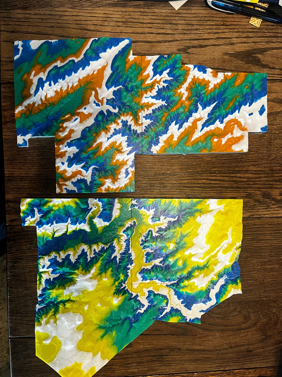
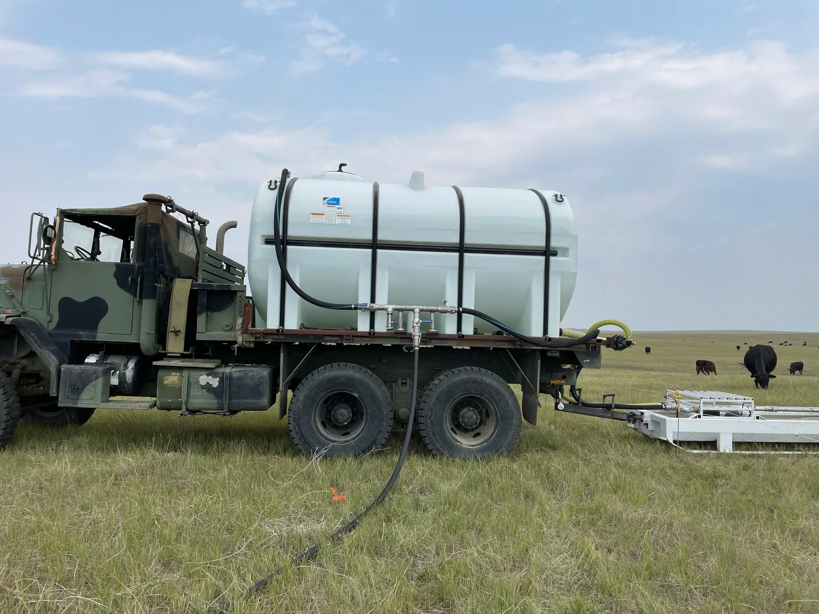
Planning pipe from existing dams to a portable livestock tank depended on subtle changes in elevation. A physical model could make possible siphon routes easier to compare before moving equipment into the field.
02 / Build
Convert terrain data into a readable engineering model.
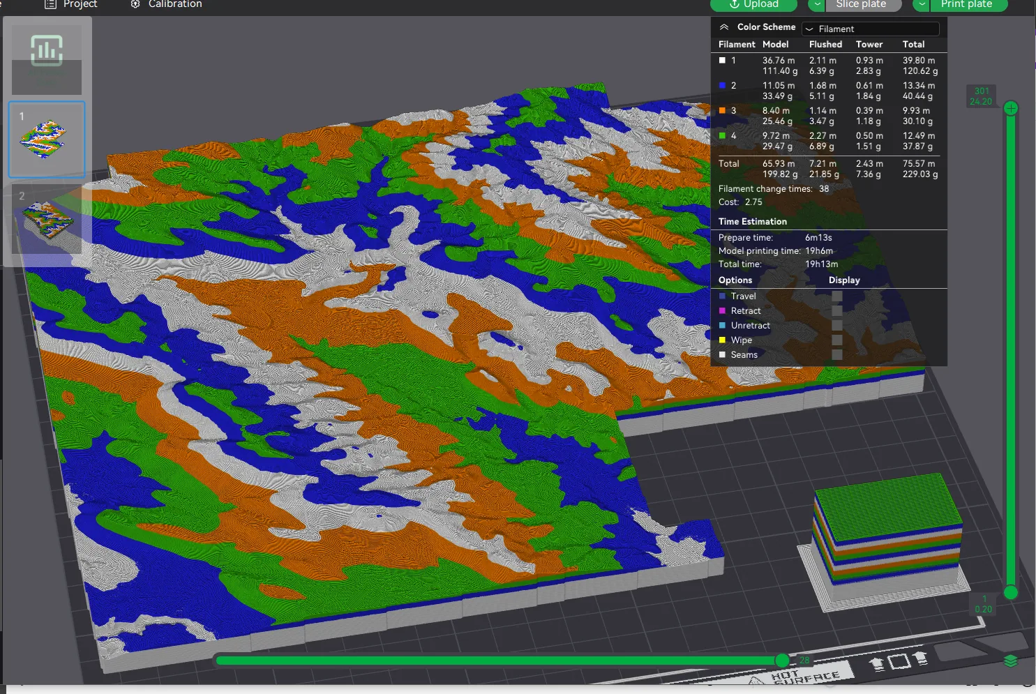
I used the open-source TouchTerrain workflow to convert Google Earth elevation data into printable geometry, then prepared the sections in BambuStudio.
The elevation multiplier was adjusted to reveal dams and draws, and filament colors changed at intervals corresponding to 10 psi of water head so pressure potential could be read directly from the model.
03 / Result
A planning tool that connected terrain to grazing capacity.
The model helped identify where water could be siphoned to and from. Using those routes opened access to 30% more grass and avoided an estimated $100,000 in feed cost.
Tools and methods
- TouchTerrain
- Google Earth elevation data
- BambuStudio
- 3D printing
- Route planning